Thierry dArgenlieu wrote:use ChartMaker to produce CHT files
ChartMaker was designed to import images of charts that
are Mercator projections (like most nautical charts).
If you import a screen shot of VR app, the chart image will
notfit over the vector chart because game app chart is not
a Mercator projection (i.e. degrees have fixed width=height).
In a true Mercator projection, degree heights should increase
as you move away from the Equator.
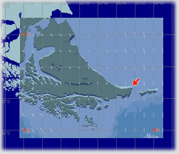
To see that, look at the image below. This is a game screen shot
projected on the vector chart (GSHHS full). While the chart fits on
reference points I used (1,2 and 3) it fails in between (red arrow)

The difference is in latitude, and is greater for high latitudes.
It is due to Earth surface curvature. VRTool chart
is not a Mercator projection either. It uses fixed height for degrees.
But degree heights are larger than widths,
allowing a better representation of courses.
If you zoom in on a VRTool chart, it is close to a Mercator projection.
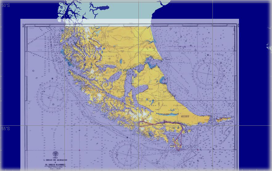
The image below shows a projected nautical chart.
 Note
Note: ChartMaker is part of Navigator software (also includes CelNav).


