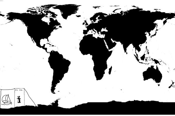
 by stufishing » Mon May 18, 2015 8:19 am
I have downloaded your bitmap and loaded it under routing config.
Ticking land collision detection to on breaks the routing and gives the below message
LGC distance = 2796.1NM
shortest = 0.0NM
longest =0.0NM
points =1
successful tracks =1
best time = 0d 00:00:00
Unticking land collision again gives me routes over land again.
Please can anyone give me any help on getting land collision to work properly?
Thank you.

